Aurland
9 villages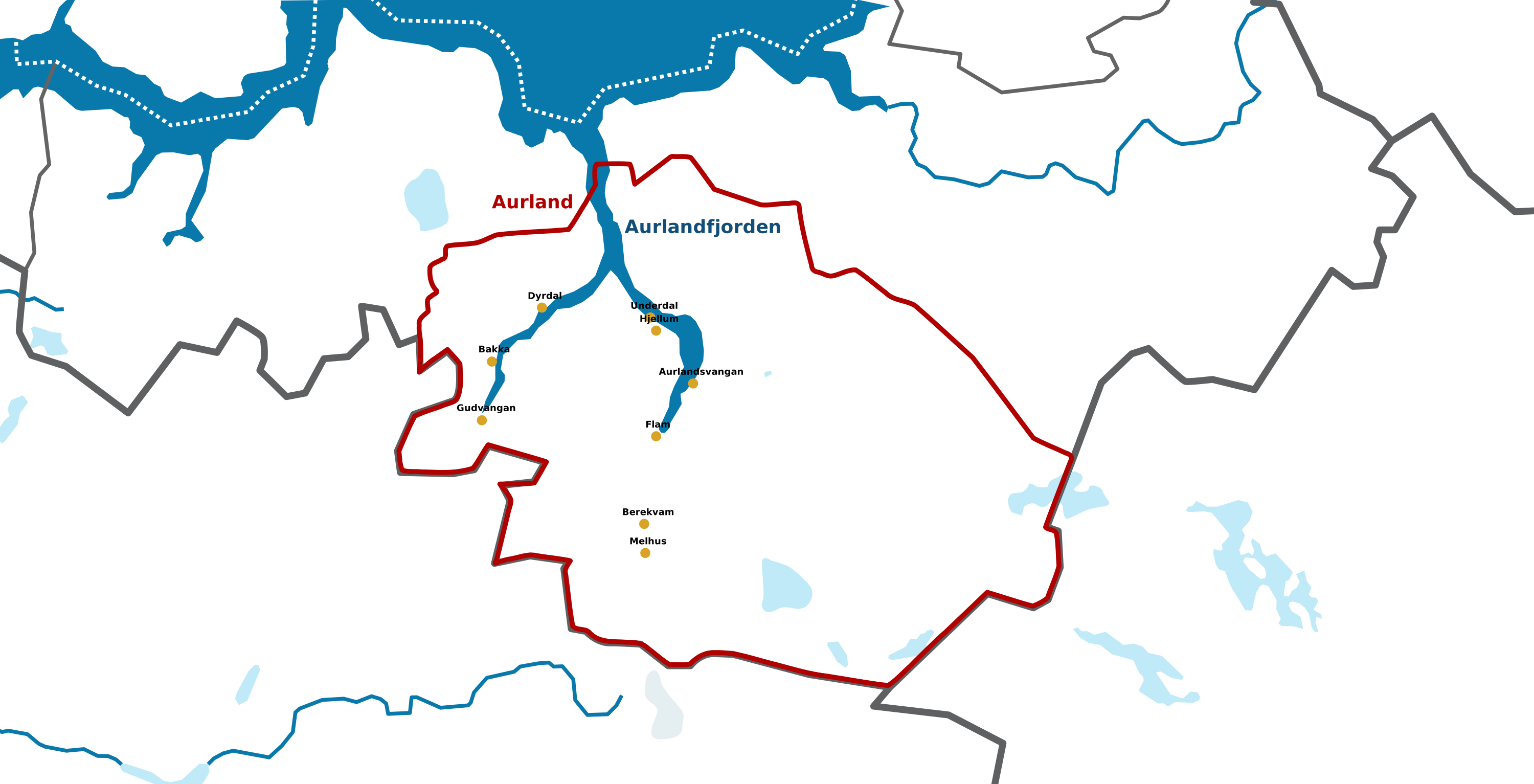
Click a marker to visit a village. Press the MAP tab, or Esc, to tuck the map away.
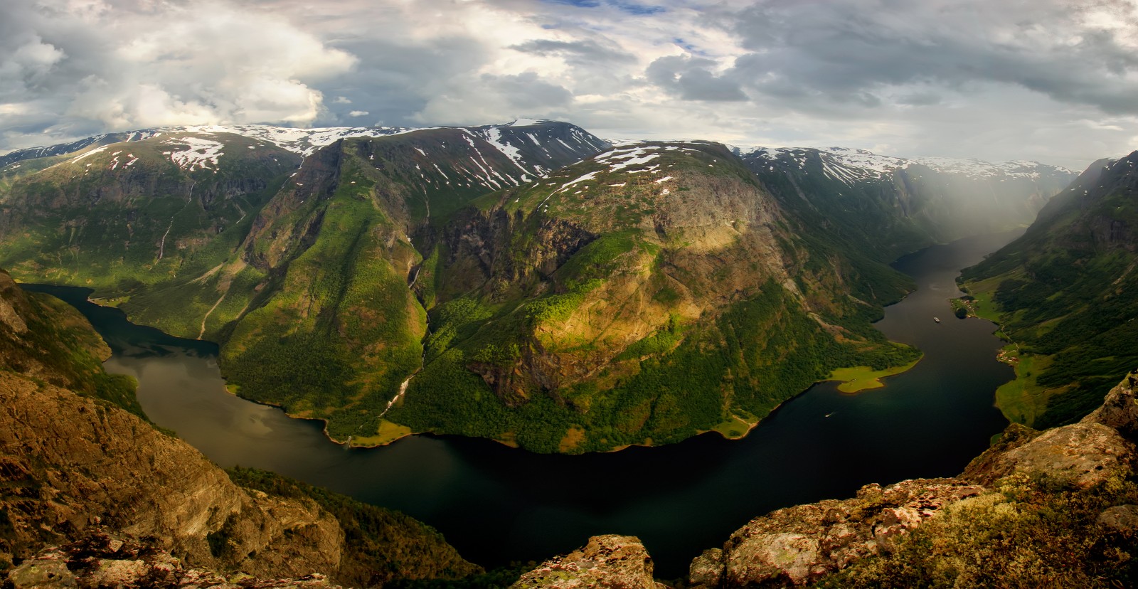
At the innermost point of Norway’s narrowest fjord, where the water finally gives way to the valley.
A parish of scattered villages
Gudvangen is the community at the innermost point of the Nærøyfjord — Norway’s narrowest arm of the great Sognefjord — where the cliffs rise almost straight up from the water. The parish takes in far more than the village itself: the small villages of Dyrdal, Styvi, Tufte and Bakka, along with the farms scattered through the Nærøydalen valley all the way up to the regional border with Voss.
In the earliest days this whole stretch of fjord belonged to the community of Undredal, and it was the tiny stave church there that served every farm along the water — reached, in every season, only by rowing boat or sail. Winter crossings in a storm were no small matter, and by the 1830s the local families had a strong desire for a church of their own, closer to home. That church still stands today at Bakka, a short way along the fjord.
Even now, arriving by boat or by the road that winds down from the mountains, Gudvangen feels like the end of the earth in the best possible way — the fjord walls closing in, waterfalls threading down from hanging valleys above, and the small cluster of buildings at the waterline looking much as they must have to families arriving here two centuries ago.