H
J
E
l
l
u
m
H
J
E
L
L
U
M
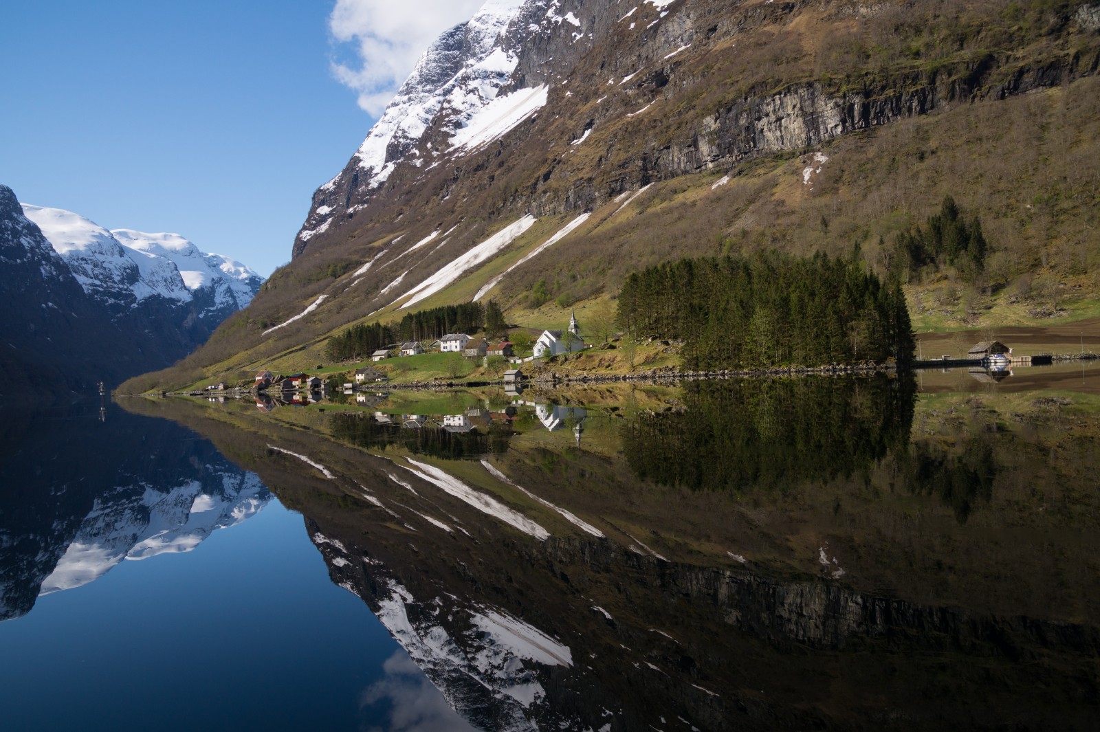
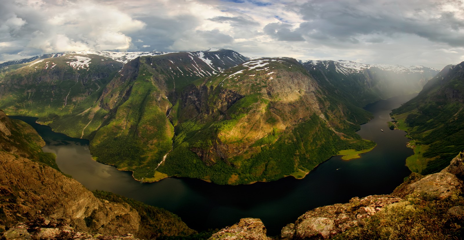
Aurlandfjord
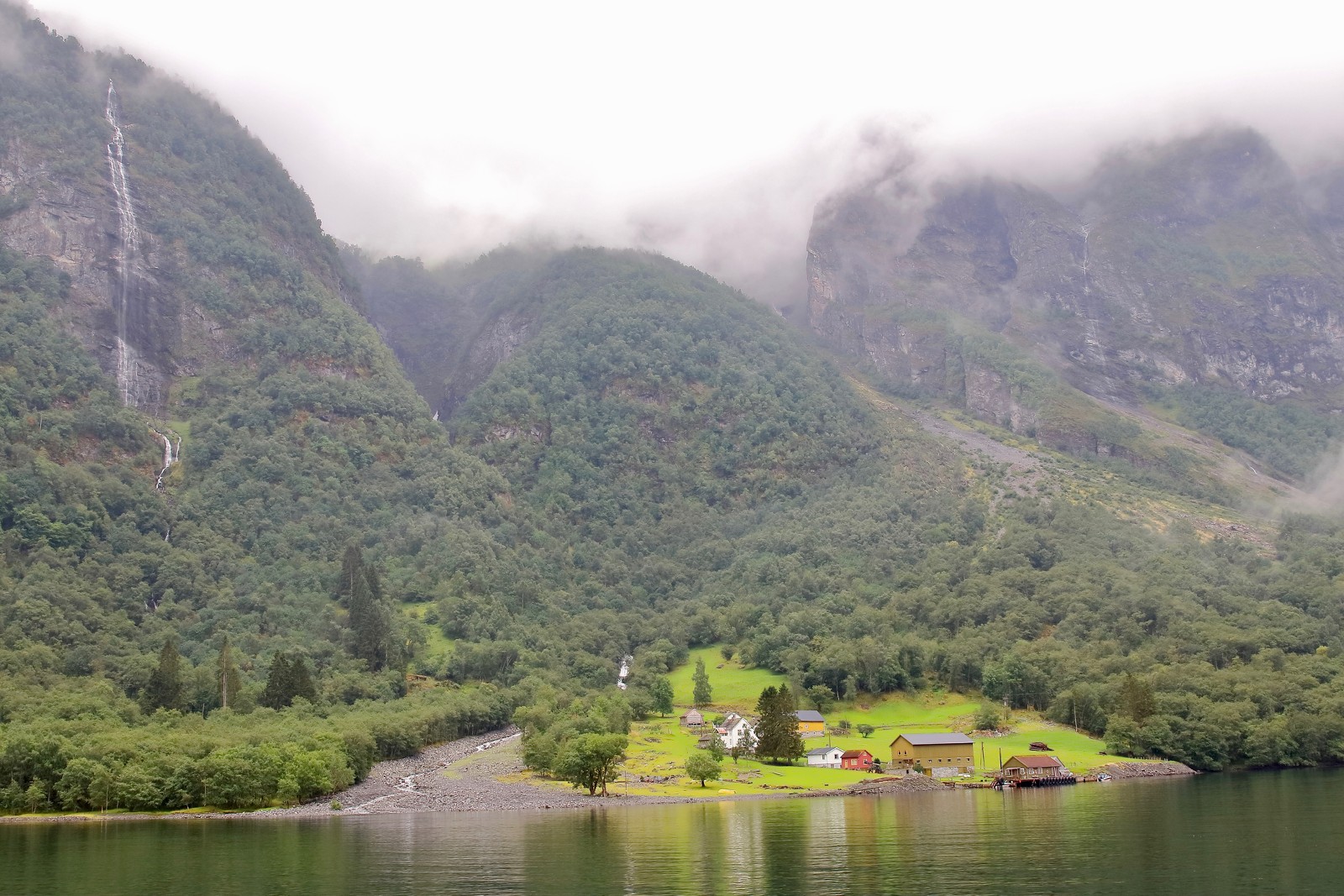
Bakka
dyrdal
horton
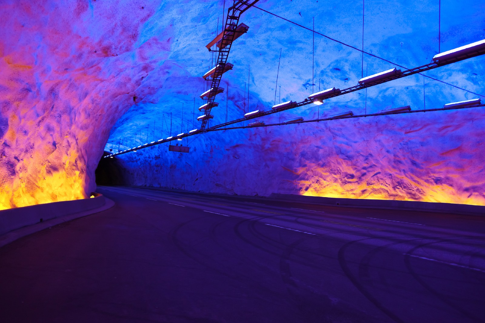
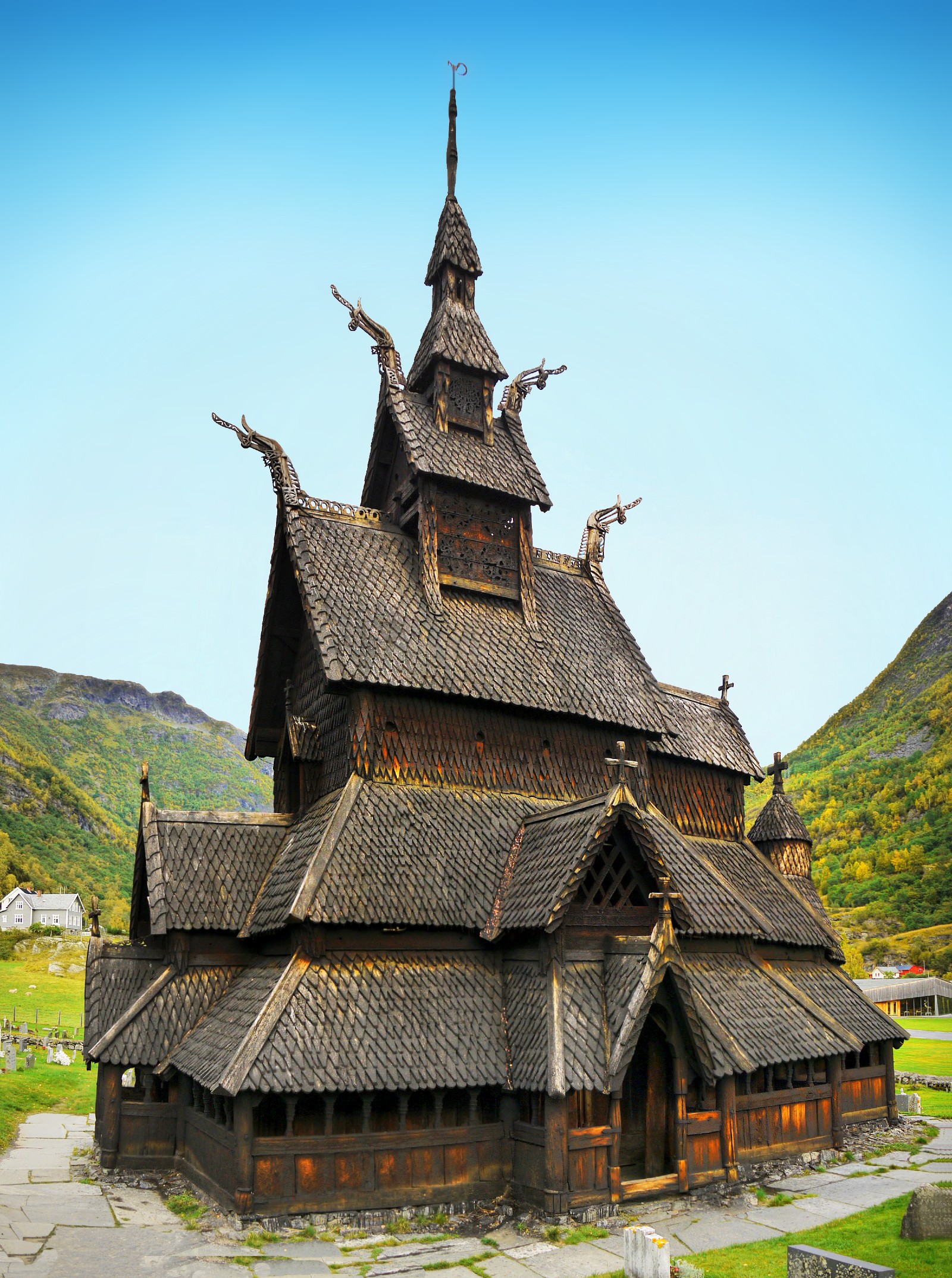
laerdal
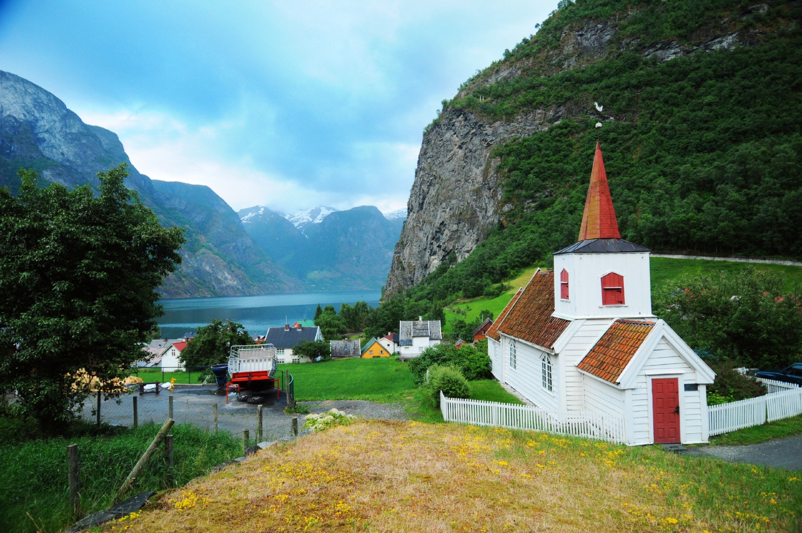
laerdal stave
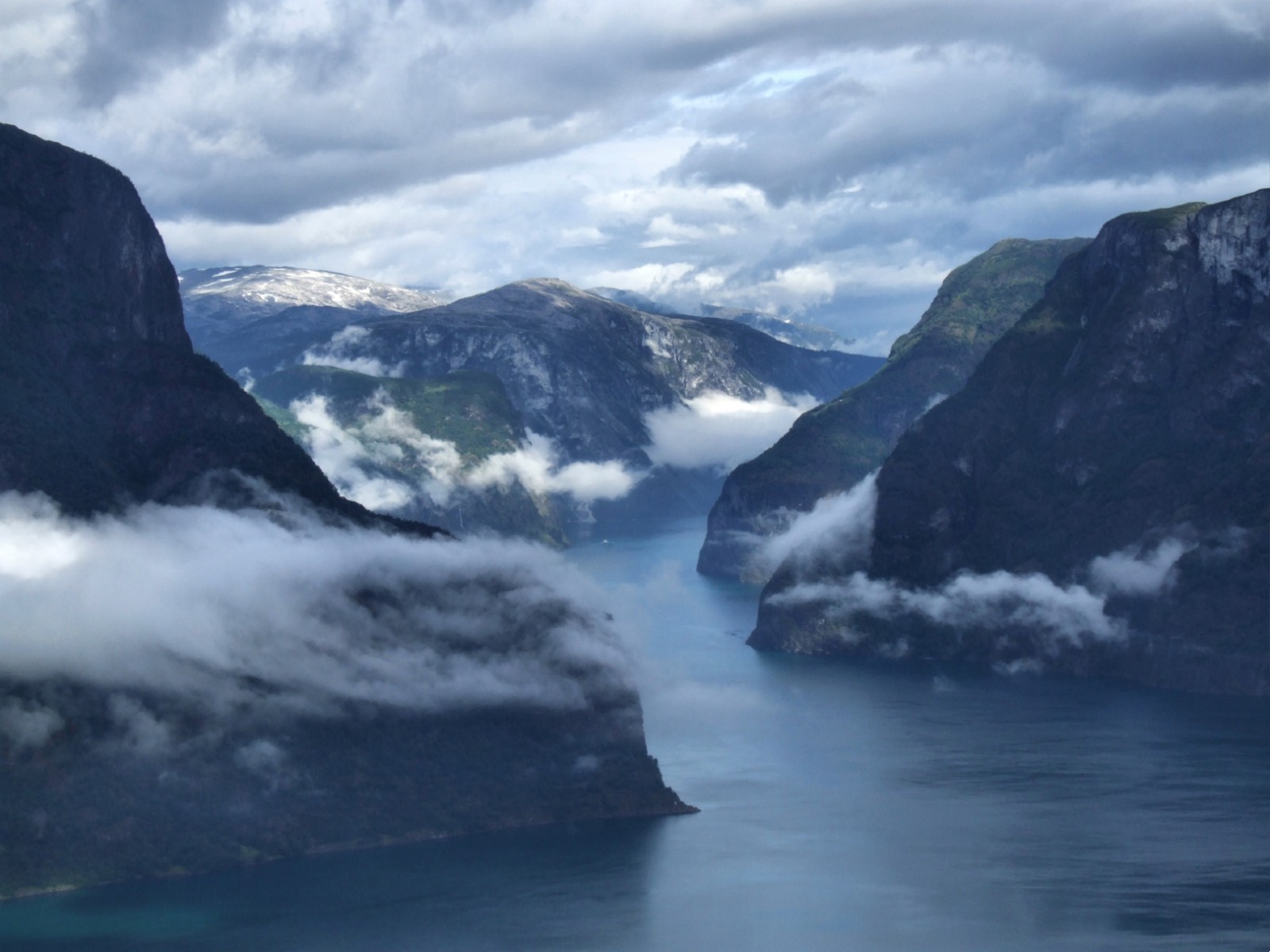
naeroyfjord
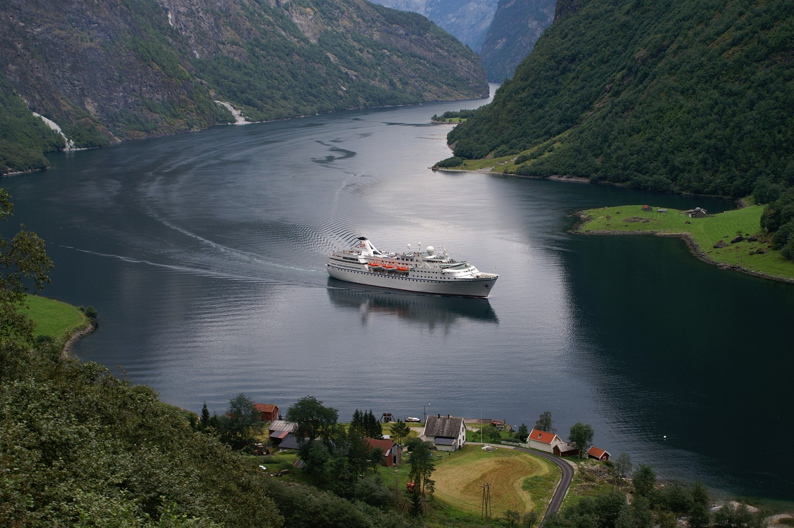
naeroyfjord cruise
nedberg
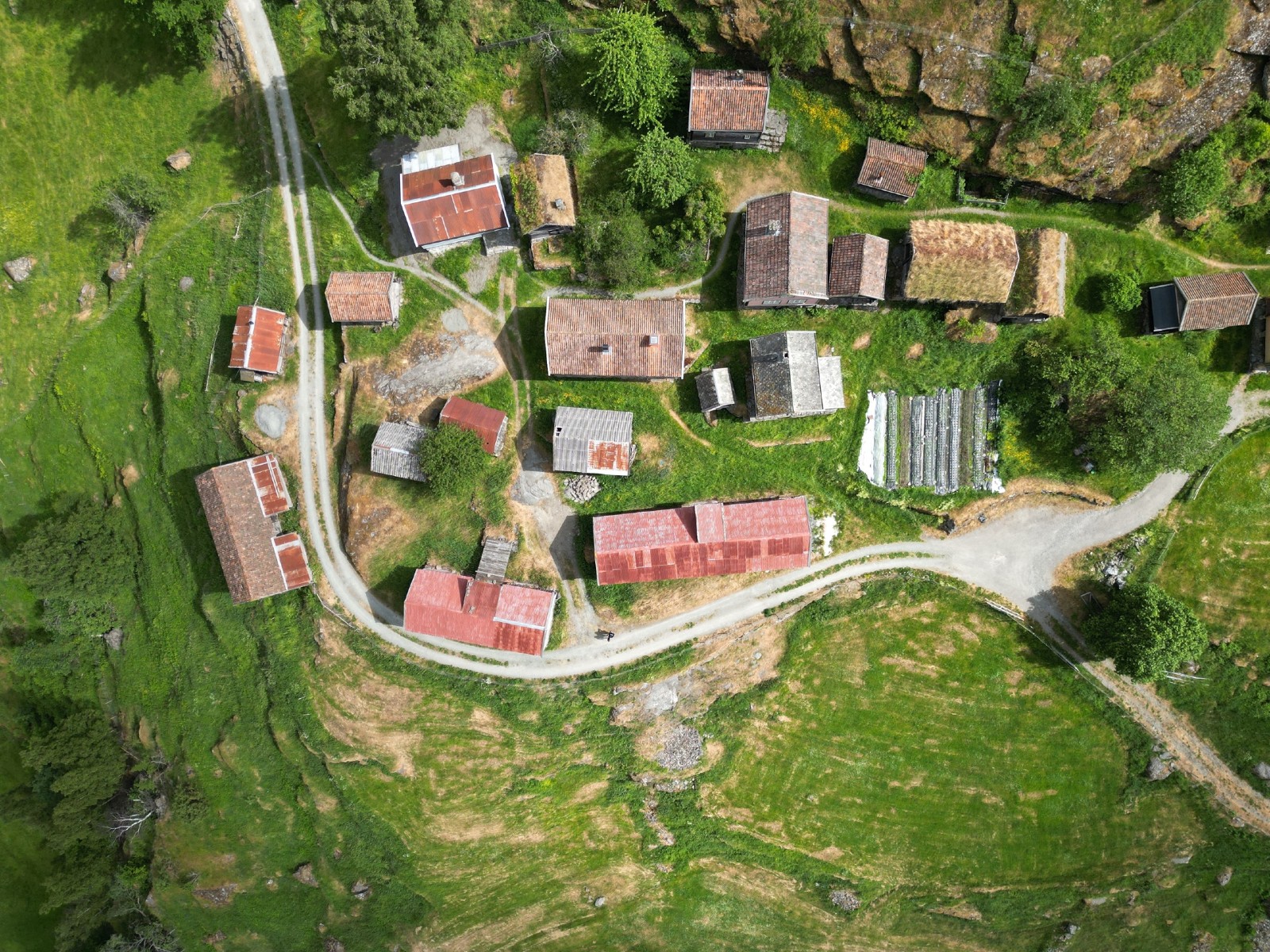
otternes
skjardal
stigen
styvi
undredal og hjellum
undredal fra hjellum
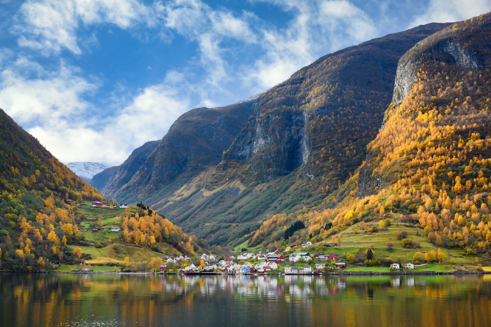
undredal
undredal stave
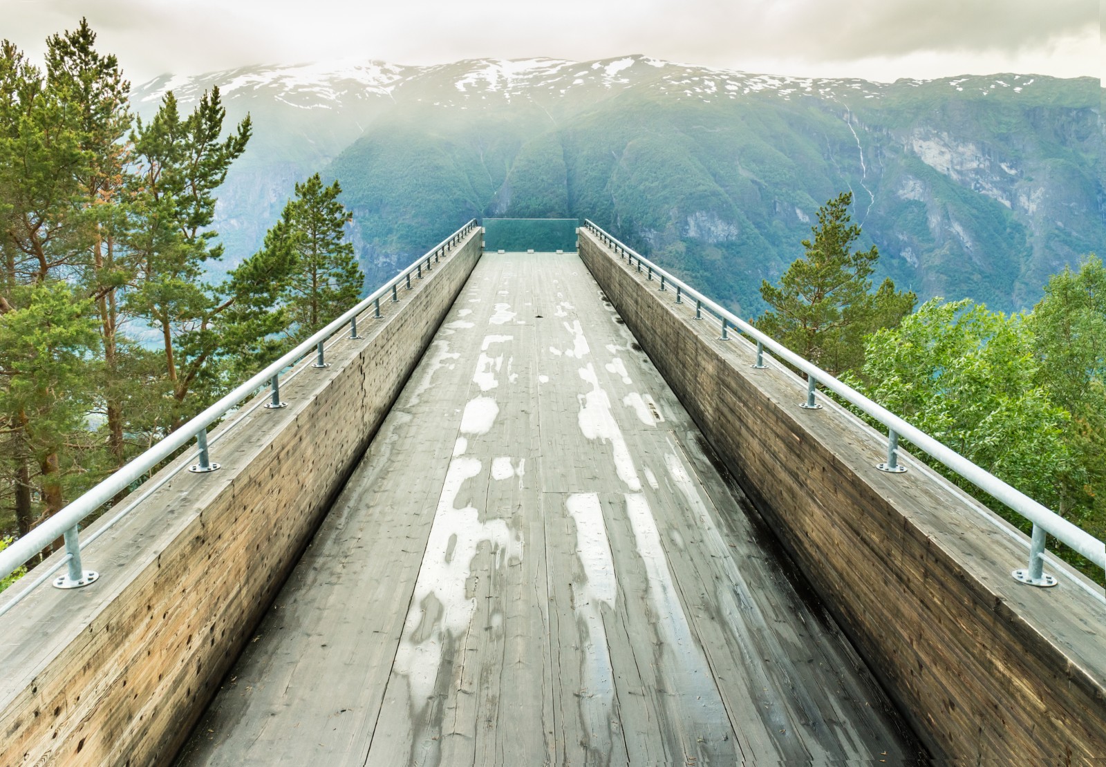
stegastein